And now . . . with great fanfare . . . I can say that I have ridden Gaff Topsail.
Certainly a sketchy piece of the T-Rail, riding Gaff Topsails is no small feat, to be sure. Of the 100 kilometres or so that we
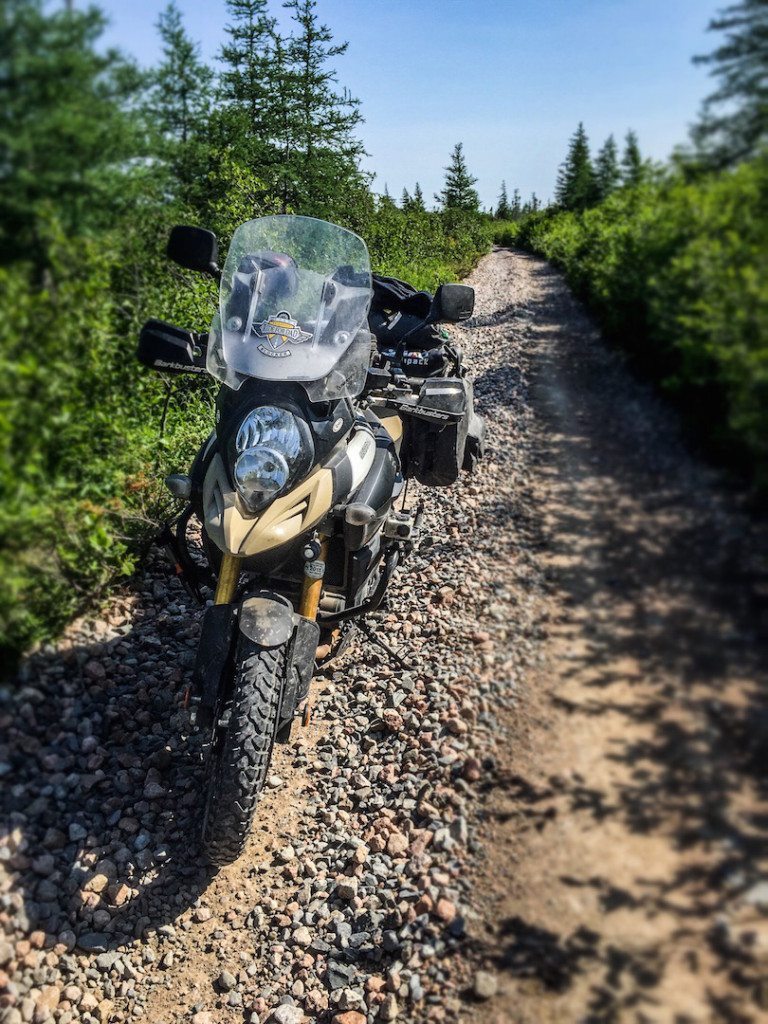
travelled on the old rail line, maybe 20 kilometres could be referred to as ‘easy riding’. Much of the ride is in deep, loose railroad ballast and is quite honestly no fun whatsoever. Then, when the squirrely, butt-cheek-clenching, holy-shit-I-hate-this section ends, (about 100 meters after dropping Big Ethel, in my case) you get to ride for several kilometres – like, another 20 – where you have a 6” wide track to stay in.
And you really do want to stay in, believe me.
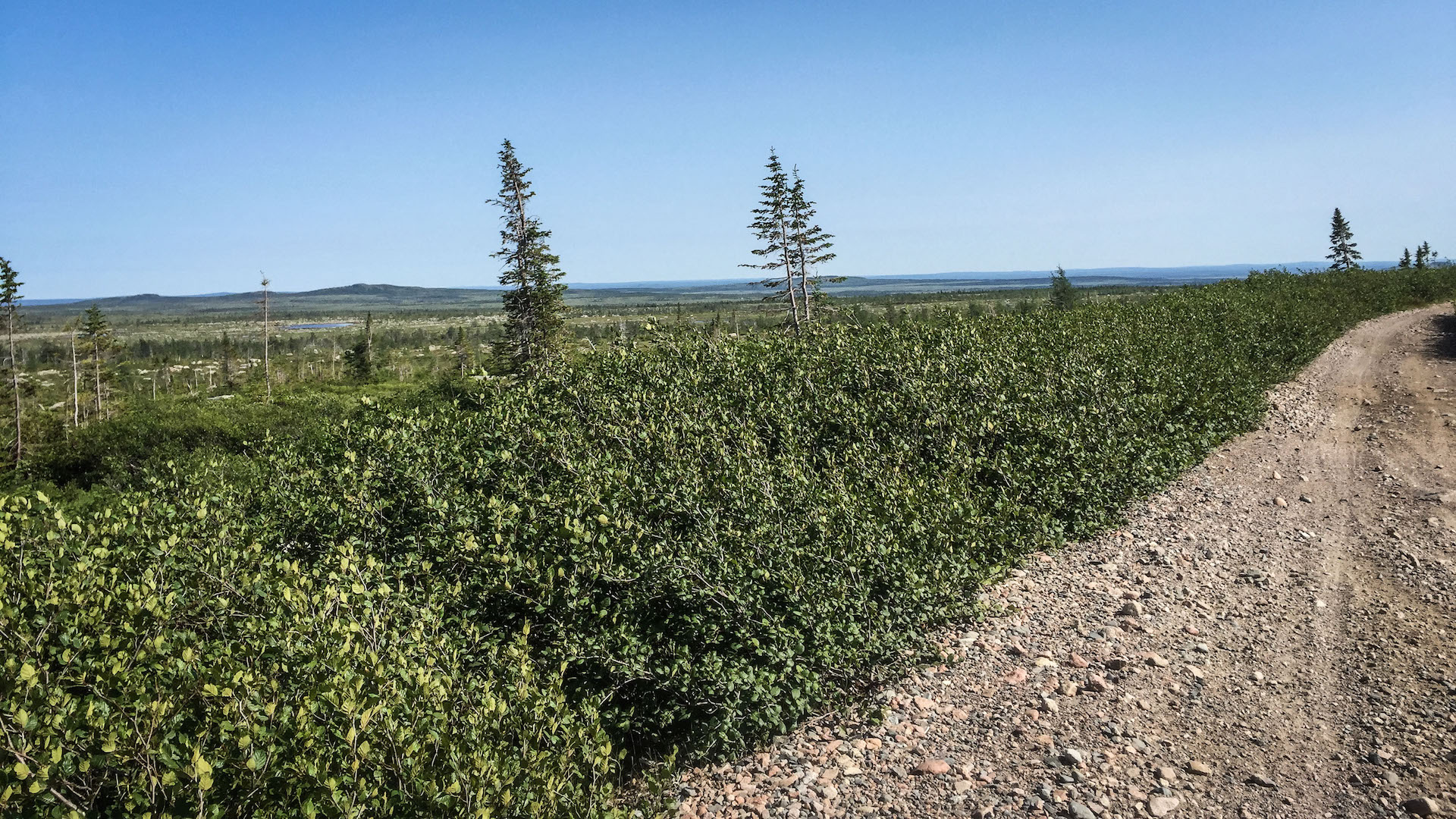
The trail at that point is about 1 metre wide. On your right – smashing off of your Barkbusters – are bushes that line this section of the T-Rail. Rarely used for recreational off-road travel, these bushes are really grown in and are attempting to reclaim the land that the old rail line runs along, making a rider who has hand-protection very grateful. And if one didn’t, well . . . good luck with that.
Now, to add to the challenge, on the immediate left of that 6” track you will want to stay in is an 8” to 12” berm of loose rock, sand and gravel – with some railroad ballast thrown in for good measure.
Think of a 20 litre pail ¾ full of marbles. Add some really small ball bearings, and then maybe 10 handfuls of BB’s. Now throw in a bunch of golf balls.
That is a rough idea of what that centre berm is like.
Sheer and instant fuckery should you lose your line or foolishly try to cross it.
Just for good measure, there are a few sections where you finally get out of the encroaching, handlebar-and-mirror smashing bushes and are able to take a deep breath once again – only to discover as you exhale that you are back in the marbles-ball bearings – golf ball mix.
Yup, pure enjoyment this is.
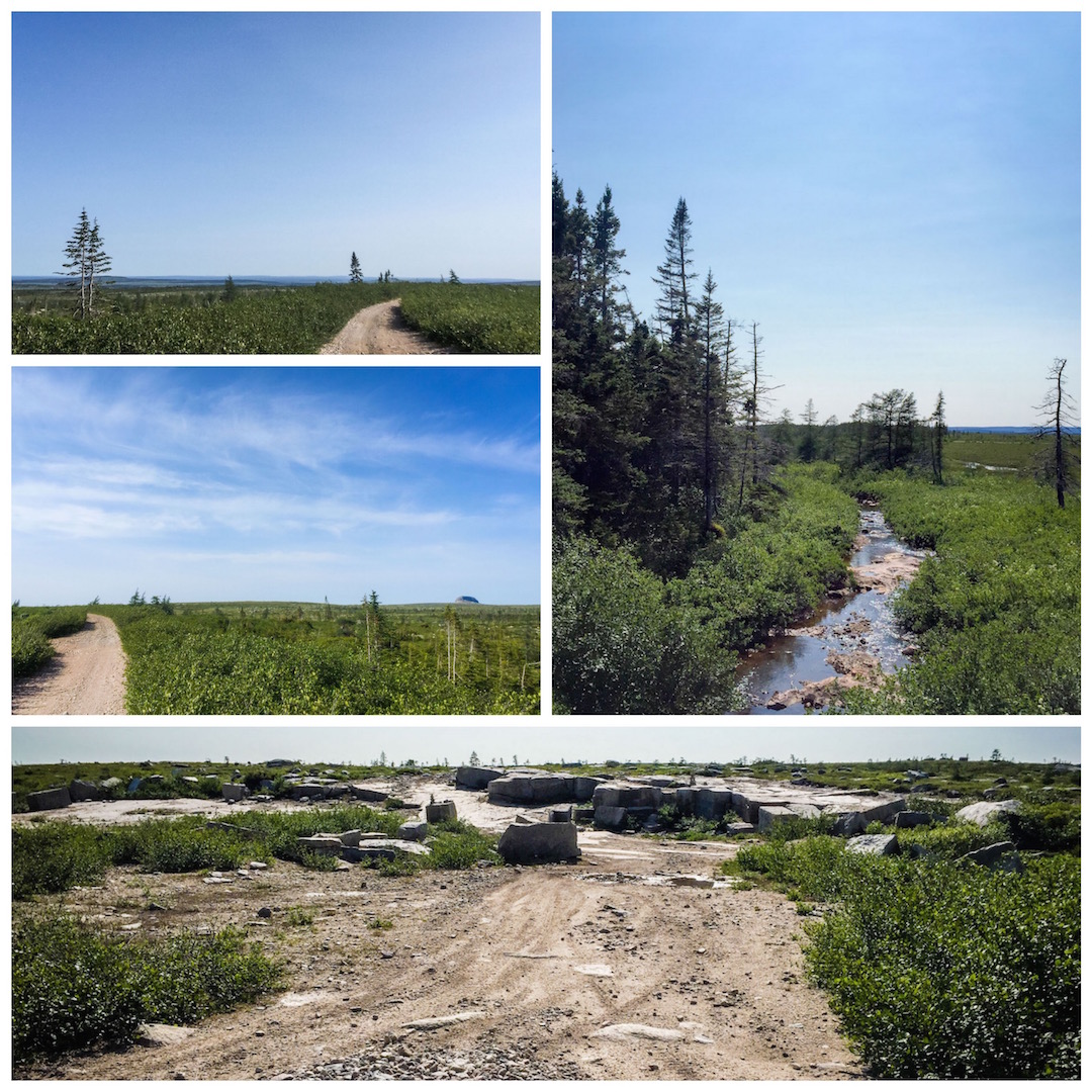
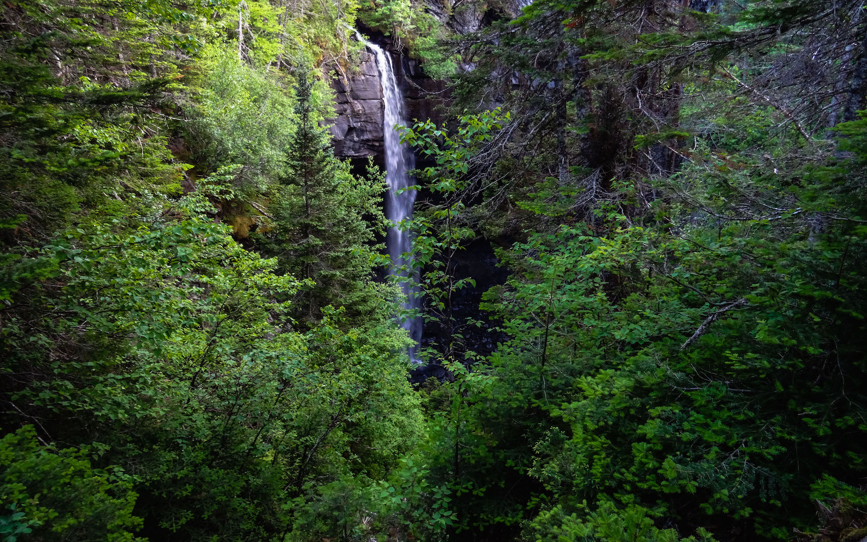
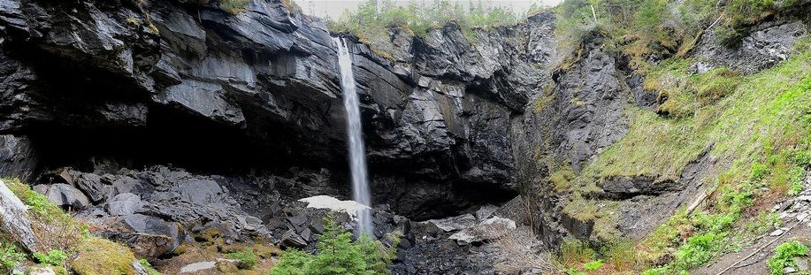
There are several bridge crossings and a few of them are quite spectacular. The surrounding scenery, should you be foolish enough to glance right or left while riding, is stunningly beautiful.
A rolling tundra broken by rocky outcroppings with what must be the world’s toughest species of evergreen, known as Tuckamore, clinging to life wherever roots were able to take, this truly is another world, very far apart from that which I am accustomed. You get the feeling that as the sun goes down, the trees and shrubs all call out to each other: “whew, made it through another day!” – or “that was one to tell the young-uns about, that’s for sure” and so on.
Mother Nature is tough on even herself out here.
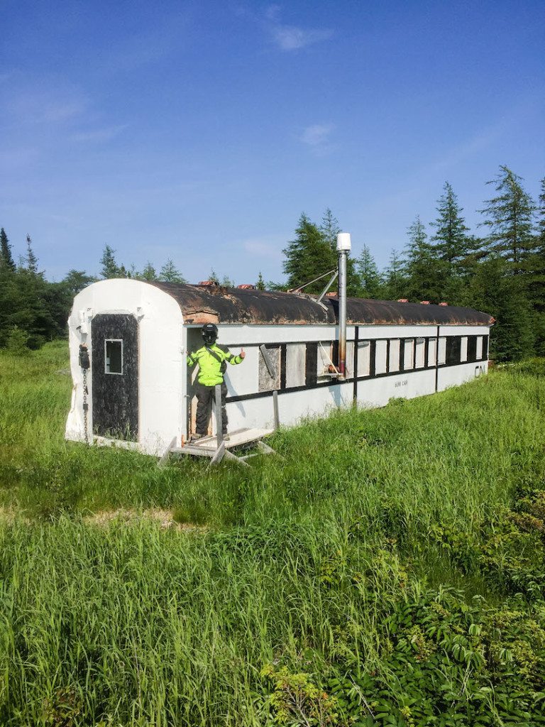
Ok, back to the trail . . . eventually, some 80 kilometres in the trail widens and again begins to resemble something like enjoyable riding. A few houses and cabins pop-up along the way, and you begin to feel like there is at least a small chance that you will be found should you be unfortunate enough to go down and off the side of the trail.
Oh, did I mention that yet? Yes, for a good length of the journey there is a minimum 2 meter drop off to the right hand side of the trail – sometimes 3 to 4 meters – wherever the mirror smashing bushes were not present.
Yay! One more thing for you to look forward to!!!
Thankfully, the riding became easier very quickly and before long we were once again on a pot-hole laden gravel road wide enough for 2 vehicles to pass. This lasted another 10 or 15 kilometres before dumping us onto asphalt – highway 401 at Howley. We followed this to the TCH, and once again got on the slab heading west towards Deer Lake.
Jeff and I ate supper in Deer Lake and then decided that, as it was only 7:00pm, we had time to go and investigate a local ‘scenic wonder’ that apparently relatively few people have ever been to – including Newfoundlanders.
Lomond Sink Hole is located way back off of the highway off an old logging road that meanders through the hills that form parts of Gros Morne and nearby Table Lands.
Following the logging road for several kilometres as it rises farther – and higher – into the interior, you will begin to see small white, oval signs nailed to trees that offer direction to the site.
Eventually you leave the logging road and travel along an ATV trail – quite rough but easily passable on an ADV bike that leads you the final distance to the sink hole.
I really wanted to climb down into the bottom depths of this natural wonder – and there are ropes left in place by previous adventure seekers for just that purpose – but I was afraid that my ankles just wouldn’t be up to the task of climbing back out, so it was not to be.
This is just one more spot that I recommend to anyone making Newfoundland a part of their adventure. Lomond Sink Hole is worth the effort to get there.
Jeff and I left the sink hole around 9:00pm – the sun was sinking fast and we still had no idea of where we were hanging our hats . . . errr . . . pitching our tents that night. We headed back out of the hills towards the highway, and Gros Morne proper, to find a spot to camp for the night.
Thankfully, not too far along the highway we found Lomond Campground in Gros Morne National Park.
The last few kilometers took quite a while to cover as it was after 10:00pm, well past dusk, and we dared not travel at more than 45kmh for fear of a moose mistaking Big Ethel for a mate. (sorry Ethel)
We set up camp under headlight power in the dark and settled in for the night.
I, personally, was not prepared for what would greet me in the morning.
Up next . . . Gros Morne And Coming Home To Corner Brook.
 Joe
Joe

